Reproduction of 48 maps from Lincolnshire's past sheds new light on the county's history.
The low-lying parts of Lincolnshire are covered by an array of maps of intermediate scope, covering a greater area than a single parish but less than the whole county. Typically produced in connection with drainage or water transport, and considerably predating the Ordnance Survey, to which many are comparable, they go back as far as the medieval period, with the remarkable Kirkstead Psalter Map of the West and Wildmore Fens [c.1232-39], and continue to the late nineteenth century.
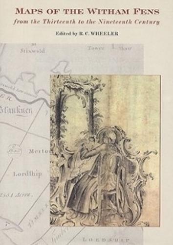
. This volume covers the Witham Valley, with the East, West and Wildmore Fens north of Boston, but extending as far as Grantham and Skegness, reproducing the most important of the maps and listing the less useful ones. The history of the drainage of the area is unusually dramatic. By 1750 the Witham was a failed river: the winter floods were worse than they had been for centuries and navigation from Boston to Lincoln had ceased. Over the following sixty years, local interests, aided by some able engineers, brought both navigation and drainage to a state of perfection that made Lincolnshire prosperous and fed the industrial north. These maps, reproduced here to a very high quality and in both colour and black and white, are an essential tool for understanding this history, and the volume thus illuminates certain episodes that have previously been opaque. They are accompanied by a cartobibliography and introduction.
Publisher: Boydell & Brewer Ltd
ISBN: 9780901503831
Number of pages: 182
Dimensions: 325 x 235 mm
Weight: 1312 g
Language: English
There has been nothing like [it]. The present volume represents a whole new departure in historic map reproduction. [...] This is a most important volume, nationally as well as locally. - LINCOLNSHIRE HISTORY & ARCHAEOLOGY
This carefully compiled and handsomely produced volume describes, catalogues and illustrates the remarkable range of maps linked to a single area of Lincolnshire: the Witham valley, with the East, West and Wildmore Fens. [...] The most impressive feature of the work is that the maps illustrated are reproduced to an exceedingly high standard, doing full justice to the precision and the beauty of many of the originals. The photographers and technical production staff are to be congratulated. The collection as a whole conveys a striking impression of the great variety of styles of map, manuscript and printed, that were developed in response to particular technical and practical needs. - LANDSCAPE HISTORY
This handsome and scholarly publication is a pleasure to handle and a mine of information. The editor and the Lincoln Record Society are to be congratulated. [...]This volume will be an invaluable reference document for anyone interested in the history of fenland drainage and navigation in general, and of the Witham Fen in particular. [...] It is very reasonably priced, and should be widely available in libraries and personal collections. - THE LOCAL HISTORIAN
 Oldham 1891
 Bolton (East) 1908
 Paisley 1858
 Great Maps
 Southport 1845 Map
 London: A History in Maps
 Bradshaw's Railway Folded Map 1907
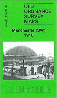 Manchester SW 1916
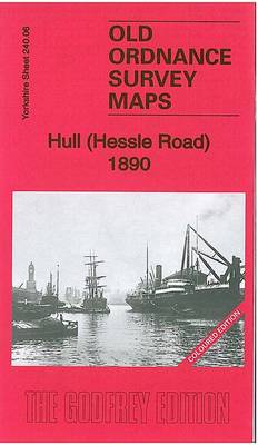 Hull (Hessle Road) 1890
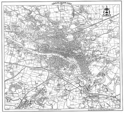 Glasgow 1857 Map
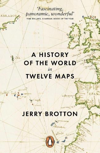 A History of the World in Twelve Maps
 Dublin 1847: city of the Ordnance Survey
 Liverpool (Vauxhall) 1864
 Govan 1894
Please sign in to write a review
Would you like to proceed to the App store to download the Waterstones App?